
As of November 14, 2026, Google Maps in South Korea still won’t walk you anywhere. Search Seoul Station to Myeongdong on foot and it answers “Sorry, your search appears to be outside our current coverage area for walking.” Driving gets the same line. Transit still works: subway and bus options, with how often they run. Korea conditionally approved the export of Google’s detailed map data in late February 2026, and Korean press reported a further step on November 13, but nobody has given a launch date. For a trip in the next few months, walk and drive with Naver Map, which has an English interface, and keep Google Maps for transit and saved places.
- Google Maps in Korea: transit only. No walking or driving directions as of November 14, 2026.
- No launch date. Korean press reports put the map data transfer in the first quarter of 2027; that isn’t a feature launch.
- Use Naver Map for walking and driving. English interface, all three route types, real-time arrivals.
- Keep KakaoMap as a backup. English and Korean, all three route types.
- No Korean phone number needed to book through Naver Map: passport verification since June 2026.
- All three apps need data for routes.
Contents
Who is this guide for?
First-time visitors who normally travel with Google Maps alone.
It suits you if:
- You saw headlines about Google Maps “opening” in Korea and want to know if it works on your dates.
- You plan to walk to restaurants, shops and your hotel by phone.
- You haven’t chosen between Naver Map and KakaoMap.
- You want to book a restaurant through a map app without a Korean number.
You can skip it if:
- You already use Naver Map or KakaoMap.
- You’re on a tour or have a driver, and won’t be finding your own way.

What does Google Maps do in Korea right now?
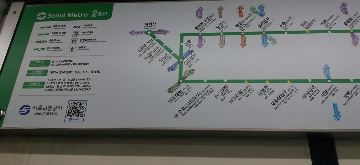
Transit routes, the map and your saved places; not walking or driving directions. On November 14, 2026, a search from Seoul Station to Myeongdong Station in the English web version gave subway and bus options with frequencies, for example Line 4 every 4 minutes, while walking and driving returned the coverage-area message.
| Feature | November 2026 |
|---|---|
| Walking directions | Not available: “outside our current coverage area for walking” |
| Driving directions | Not available: “… for driving” |
| Public transit | Available: subway and bus options with frequencies |
| Map view, saved places | Work as usual |
Is Google Maps opening in Korea soon?
Not on a date anyone has announced. In late February 2026, the National Geographic Information Institute, under the transport ministry, conditionally approved Google taking 1:5,000 map data out of Korea, with security conditions attached. Google says it plans to bring full features, turn-by-turn navigation included, but hasn’t said when.
On November 13, 2026, Korean press reported that a government committee on map data exports had confirmed Google met those security conditions, and quoted the Ministry of Land, Infrastructure and Transport as saying the data itself would leave the country from the first quarter of 2027. A data transfer date isn’t a launch date: Google still has to build and switch on the features.
| When | What happened |
|---|---|
| Late February 2026 | Government conditionally approves exporting 1:5,000 map data, with security conditions |
| November 13, 2026 | Korean press reports Google’s security measures approved; data transfer said to start in Q1 2027 |
| November 14, 2026 | Walking and driving still unavailable; no launch date |
What that means for you: if your trip is before spring 2027, don’t plan around Google Maps for walking. If it’s later, open Google Maps a week before you fly and try a walking route in Seoul. If it works, great; if not, you already have Naver Map.
Should I use Naver Map or KakaoMap?
Naver Map as the main app, KakaoMap as the backup. Both have English and do walking, driving and transit. Naver Map adds real-time arrivals, subway maps and stop alerts, and lets foreigners book and pay with passport verification. I’d keep KakaoMap installed to cross-check when a route looks odd.
| Naver Map | KakaoMap | Google Maps | |
|---|---|---|---|
| English interface | Yes | Yes | Yes |
| Walking | Yes; voice guidance rolling out to iPhone | Yes | No |
| Driving | Yes, live traffic, English voice | Yes | No |
| Transit | Real-time arrivals, subway maps, stop alerts | Live subway and bus positions on the map | Options and frequencies |
| Booking and paying | With passport verification | — | — |


Does Naver Map work in English?
Yes. It’s listed in the App Store as “NAVER Maps, Navigation”, with English, Korean, Japanese and Chinese. All three route types work. Walking voice guidance arrived on Android on June 19, 2026 and is rolling out to iPhone. Since June 4, 2026, foreigners can verify with a passport (여권 인증) to reserve, order and pay inside the app, without a Korean phone number.
| App Store name | NAVER Maps, Navigation (NAVER Corp.) |
|---|---|
| Languages | English, Korean, Japanese, Chinese |
| Walking | Routes; voice guidance since June 19, 2026 on Android, rolling out to iPhone |
| Driving | Navigation with live traffic and English voice |
| Transit | Real-time arrivals, subway maps, alerts when to get on and off |
| Reservations, orders, payment | Passport verification for foreigners since June 4, 2026 |
Which restaurants you can book this way, and how it compares with CatchTable, is covered in restaurant reservation apps for foreigners.

Is KakaoMap in English?
Yes, English and Korean. Walking, driving and transit routes all work, and the web version needs no login; Seoul Station to Myeongdong on foot comes out at about 30 minutes, 1.7 km. You can also watch subways and buses move on the map.
| App Store name | KakaoMap - Korea No.1 Map |
|---|---|
| Languages | English, Korean |
| Routes | Walking, driving, transit; web version without login |
| Transit | Live subway and bus positions on the map |
Do these map apps work offline?
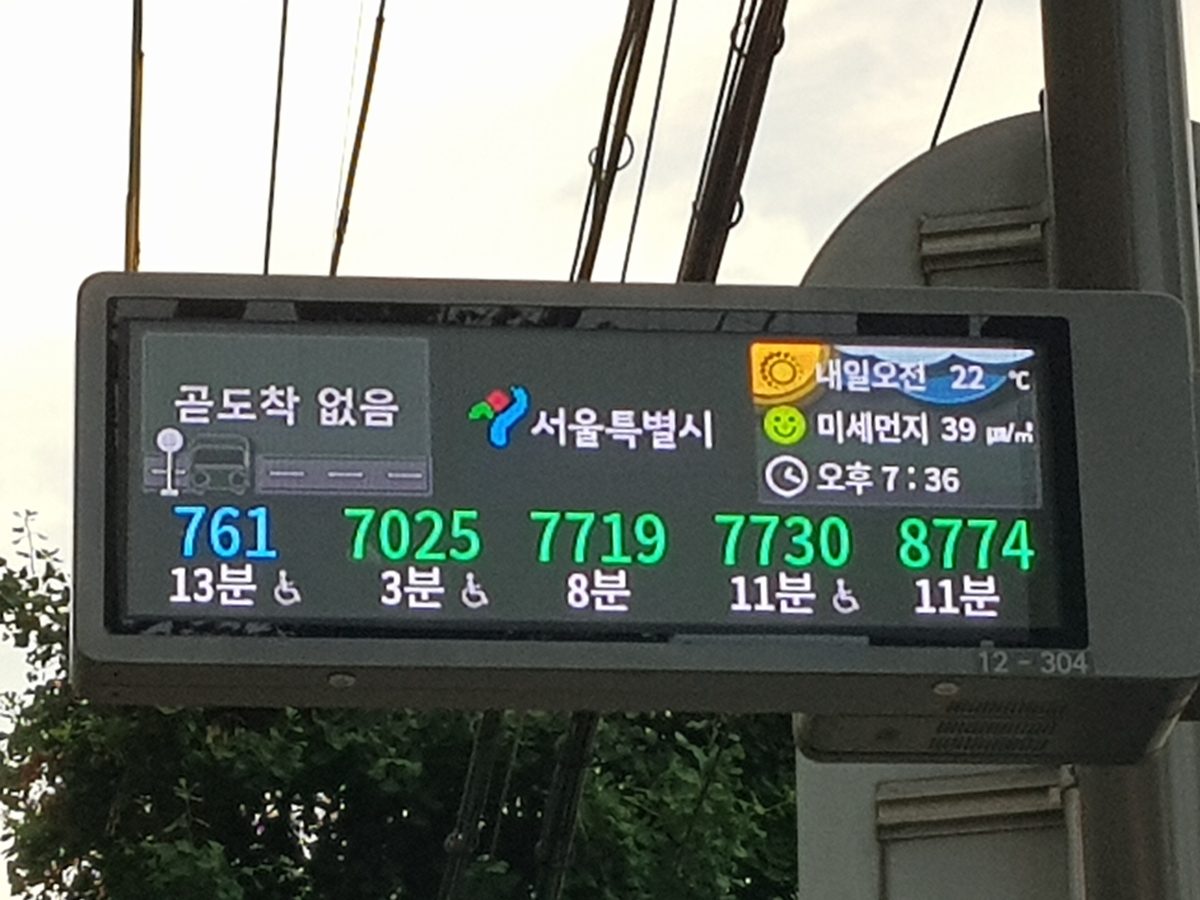
Not for routes or live arrivals; all three need a data connection. Have mobile data working from the moment you land, whether that’s roaming, an eSIM or a local SIM.
What else do I need for taxis and the subway?
A taxi app and a transit card; map apps only find the way. For taxis, install Kakao T; how it handles foreign cards is in Kakao T with a foreign card. For the subway and buses you need T-money or a phone set up as one; whether you can top up T-money with a credit card explains the options, and Apple Pay in Korea covers paying with your phone.

Your situation
If your trip is before spring 2027
Install Naver Map and KakaoMap before you fly, switch Naver Map to English, and save your hotel and the places you want to visit. Keep Google Maps for transit if you like its layout, but walk with Naver Map.
If your trip is later in 2027
A week before departure, open Google Maps and try a walking route between two Seoul stations. If it still says “outside our current coverage area”, carry on with Naver Map. Install Naver Map either way; it’s free and you’ll want it for live bus arrivals.
If you want to book restaurants
Do Naver Map’s passport verification at home, not at the restaurant door. Then reserve, order and pay in the app without a Korean number.
Common mistakes
- Taking “Google Maps approved” headlines as “navigation works”. The approvals are about map data; walking and driving were still off on November 14, 2026.
- Reading the Q1 2027 data date as a launch date. Google still has to switch the features on.
- Finding out on arrival. Install Naver Map before the flight.
- Expecting a map app to call a taxi. Install Kakao T for that.
- Relying on Wi-Fi. Routes need data while you walk.
FAQ
- Q1: Does Google Maps work in Korea now?
- Only for public transit. As of November 14, 2026, walking and driving searches return “outside our current coverage area”, while subway and bus routes still show with frequencies. The map itself and saved places work as usual.
- Q2: Why doesn’t Google Maps give walking directions in Korea?
- Google hasn’t switched them on in Korea yet. The government conditionally approved exporting 1:5,000 map data to Google in late February 2026, and Google says it plans full features including turn-by-turn navigation, but with no date.
- Q3: When will Google Maps navigation work in Korea?
- No date has been announced. Korean press reported on November 13, 2026 that the map data would start leaving the country in the first quarter of 2027; that’s a data date, not a launch date. See where things stand.
- Q4: What is the best map app for Korea in English?
- Naver Map, with KakaoMap as a backup. Both have an English interface and give walking, driving and transit directions. Naver Map adds real-time arrivals and lets foreigners book with passport verification.
- Q5: Can I use Naver Map without a Korean phone number?
- Yes. Since June 4, 2026, foreigners can verify with a passport instead of a Korean number to book, order and pay in Naver Map.
- Q6: Do Korean map apps work offline?
- Not for routes. Naver Map, KakaoMap and Google Maps all need a data connection to plan routes and show live arrivals, so sort out mobile data before you go.
If it were me
A week before the trip, I’d install Naver Map and KakaoMap, set Naver Map to English, and search and save my hotel and the places on my list. I’d keep Google Maps for its saved lists and transit, but every walk would be on Naver Map.
For a trip in mid-2027 or later, I’d test Google’s walking directions a week out and only then decide. Until a working route actually appears, Google Maps isn’t my plan for walking in Korea.
Official sources
- National Geographic Information Institute: press releases (Korean; February 26, 2026 approval)
- Ministry of Land, Infrastructure and Transport: press releases (Korean)
- NAVER Maps, Navigation on the App Store
- NAVER: passport verification for foreigners (Korean, June 2026)
- KakaoMap on the App Store
Features and availability follow the latest official announcement.
Read next
Verified
 Current
Can Foreigners Use Kakao T Taxi? Foreign Cards and Cash 2026
Kakao T accepts Visa, Mastercard, JCB and AMEX cards issued outside Korea if the name matches your account, though some issuers still block them; Kakao Pay takes Korean cards only. Without a card, request a Regular taxi, choose to pay the driver, and pay by card or cash at the end. Blue Partners and Booster calls need an in-app card. k.ride calls the same cars but adds 10% to the fare and takes no cash. The iPhone app needs iOS 17.0 or later.
Verified
 Current
Can You Top Up T-money With a Credit Card? 2026 Answer
Physical T-money cards top up with cash only. Since March 17, 2026, new machines on Seoul Lines 1–8 accept foreign cards, but only for the Climate Card and single tickets. On iPhone, MobileTmoney tops up via Apple Pay with Mastercard, Amex, UnionPay or JCB, not Visa; WOWPASS fills its T-money balance in the app.
Verified
 Current
CatchTable for Foreigners: Booking Korean Restaurants (2026)
CatchTable’s global app, “CATCHTABLE: Book Restaurants,” needs no Korean phone number: sign up by email, pay with your own credit card, 20 languages including English, 8,000+ restaurants. Deposits and refunds are set by each restaurant, and refunds take at least 3 to 10 days. Since November 12, 2026, remote waitlists at some restaurants may carry a service fee. Naver Map has offered passport verification since June 4, 2026; Tabling is Korean only.