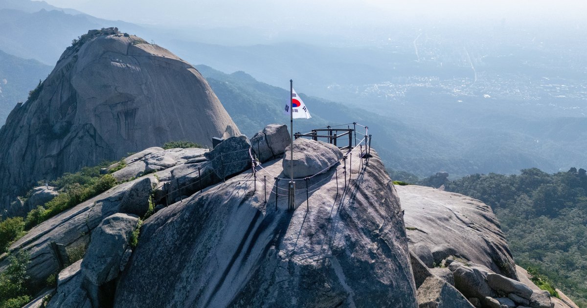
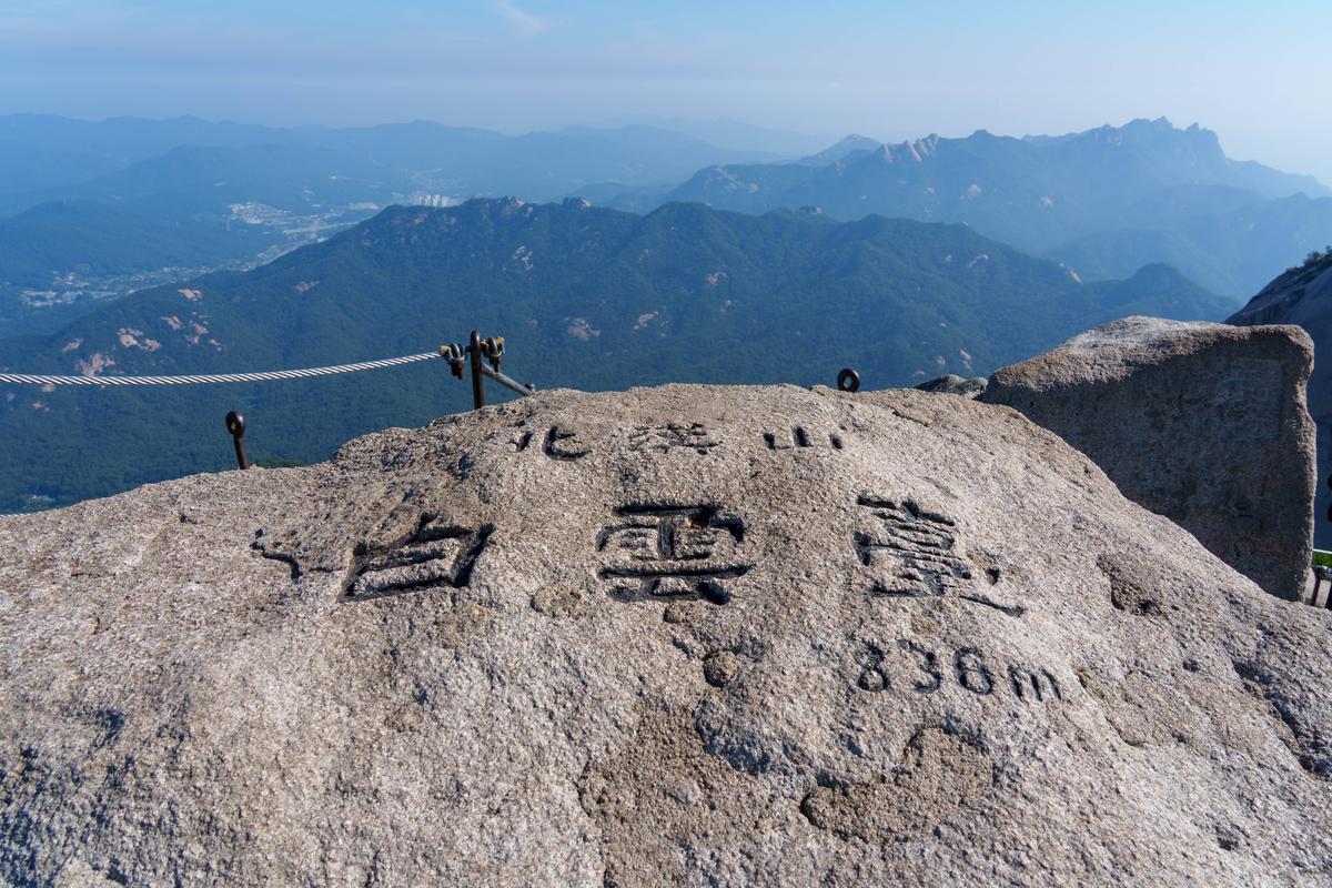
Baegundae Peak (백운대), the top of Bukhansan National Park and the highest point in Seoul at 836 m, is 1.9 km and about 1 hour 30 minutes from the trailhead on the Ui side. That’s the shortest of the routes to the summit, and you get there on the subway. The Bukhansanseong route on the west side reaches the same peak but is 3.4 km each way. Two things decide whether you make it. Rangers stop people starting uphill at 16:00 from December to February and at 17:00 the rest of the year, and in winter the park says you must wear crampons. There’s no ticket and no reservation. Korean signs and park pages call a trail a 코스 (course), so the route you want is signed 백운대코스, the Baegundae Course.
- Take the Ui side: Baegundae Course, 1.9 km and about 1.5 hours one way from the visitor center, plus about 2 km of paved road from the station first.
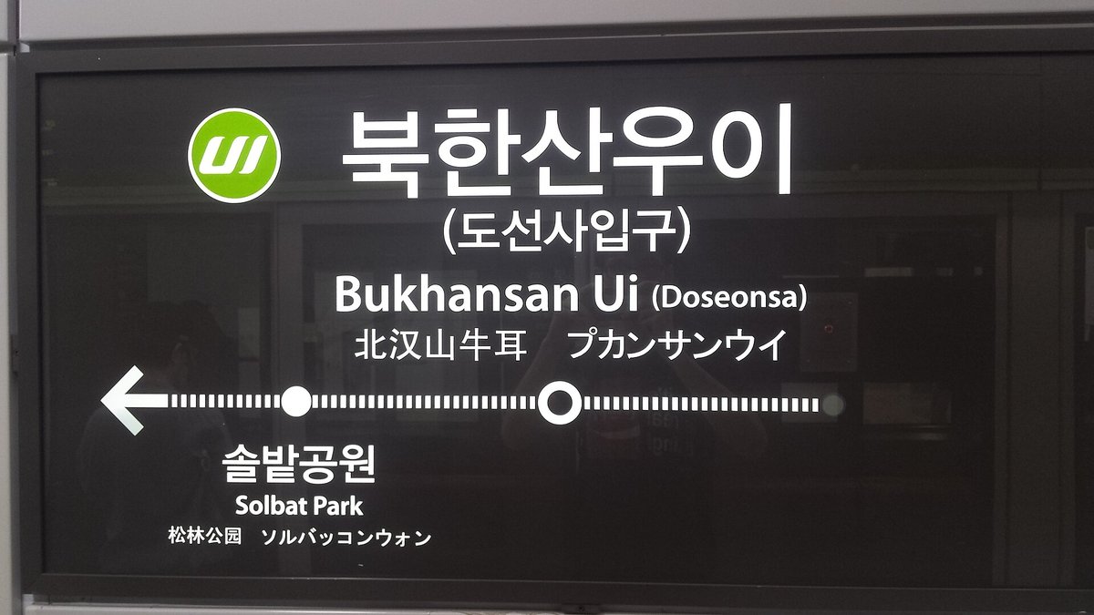
- Get there on the Ui LRT to the last stop, Bukhansan Ui.
- Start before the cutoff: 16:00 December–February, 17:00 March–November; in November and March plan around 16:00.
- Winter means crampons: foreign visitors can rent them by Bukhansan Ui Station, 09:00–18:00, closed Mondays, gear back by 16:30.
- No fee, no booking.
- Check the closure page the night before: summit repairs and heavy-snow warnings are what close this route.
Contents
Who is this guide for?
Reasonably fit visitors who want a half-day hike inside Seoul to the city’s highest point.
- You want a real summit you can reach by subway, without a tour.
- You’re in Seoul between November and March and want to know whether a winter hike is doable and what to bring.
- You read that Bukhansan closes trails in wildfire season and want to know if that affects Baegundae.
You can skip it if:
- You can only start in the afternoon. With 2 km of road before the trail and a 16:00 cutoff in winter, it’s tight.
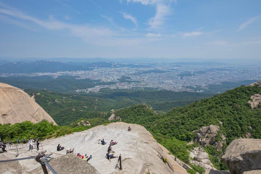
- Heights or steep rock bother you. The last stretch is narrow and you pull yourself up on steel cables.
Key facts
| Summit | Baegundae Peak (백운대), 836 m, Bukhansan National Park |
|---|---|
| Shortest route | Baegundae Course (백운대코스), Ui side |
| One way | 1.9 km, about 1 hour 30 minutes, official difficulty “medium”, from Baegundae Visitor Center (백운대탐방지원센터) |
| Before the trail | About 2.0 km and 30 minutes of paved uphill from the Ui ranger post (우이분소) to Doseonsa Temple’s plaza |
| Nearest station | Bukhansan Ui Station (북한산우이역), last stop on the Ui LRT |
| Last time to start up | 16:00 December–February; 17:00 March–November (open from 04:00) |
| Fee / reservation | None / none |
| Winter gear | Crampons required on this route |
| Parking | None near the visitor center |
Which trail is the shortest to Baegundae, and how long does it take?
The Baegundae Course from the Ui side: 1.9 km and about 1 hour 30 minutes one way. Those 1.9 km start at Baegundae Visitor Center, not at the station. Before it there’s about 2 km of paved road, roughly 30 minutes uphill, so count from the station and it’s closer to 2 hours up.
| Section | Distance / time |
|---|---|
| Ui ranger post → Doseonsa plaza (paved, not part of the 1.9 km) | 2.0 km / about 30 min |
| Baegundae Visitor Center → Harujae (하루재) | 0.8 km / about 30 min |
| Harujae → Baegun Shelter (백운대피소) | 0.6 km / about 40 min |
| Baegun Shelter → Baegundae summit | 0.5 km / about 20 min |
The other common way up is the Bukhansanseong Course on the west side: 3.4 km and about 2 hours 40 minutes to the same summit. I’d take the Ui side. It’s 1.5 km shorter each way and about 70 minutes faster, and the cutoff times are the same on both.
| Baegundae Course (Ui) | Bukhansanseong Course (west) | |
|---|---|---|
| One way | 1.9 km / about 1 h 30 min | 3.4 km / about 2 h 40 min |
| Summit | Same: Baegundae Peak | |
| Last time to start up | Same: 16:00 Dec–Feb, 17:00 Mar–Nov | |
How do I get to the Baegundae trailhead by subway?
Take the Ui LRT (우이신설선) to the end of the line, Bukhansan Ui. From the station, walk to the Ui ranger post and then about 2 km uphill on pavement to the plaza in front of Doseonsa Temple, where the trail begins. Search “북한산우이역” in Naver Map or KakaoMap for the transfer; why those apps and not Google Maps is in Google Maps in Korea.
The park service’s own transport page still lists the old way for this route, Line 4 to Suyu then bus 120 to Ui-dong. That predates the Ui LRT; the LRT is simpler now. You’ll pay with a transit card; for loading one with a foreign card see topping up T-money.
What time do I have to start? Is there a cutoff?
Yes. After 16:00 from December to February, and after 17:00 from March to November, rangers won’t let you start up. Korea’s national parks set entry hours for every trail section, and on Bukhansan every row of the table carries the same times. Entry opens at 04:00. The cutoff is when you can no longer head uphill; it isn’t the time you have to be back down.
| Section | December–February | March–November |
|---|---|---|
| Baegundae Visitor Center → Baegundae | 04:00–16:00 | 04:00–17:00 |
November and March are the months to watch. The same park page describes winter as November to March in its notes, while the Bukhansan table header says December to February. In those two months I’d plan around 16:00 anyway. The trail alone is 1.5 hours each way, so leave the visitor center by around noon and you’ll be down before dark. On weekends it gets crowded near the summit, and the park reminds hikers to allow for their stamina and for sunset.
Is the last part to Baegundae scary? Do I need climbing experience?
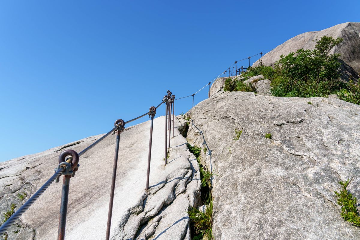
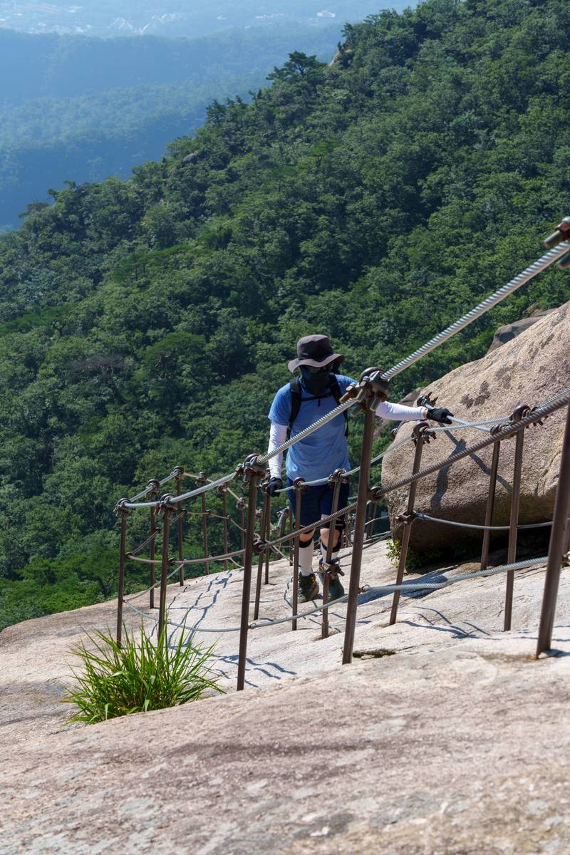
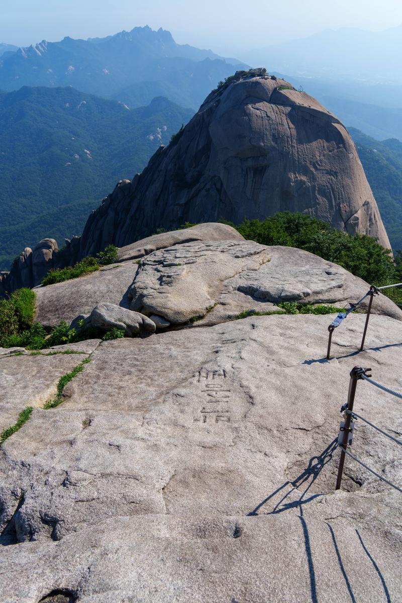
It’s the hardest part: the 0.5 km from Baegun Shelter to the summit is the steepest stretch on the route. It gets narrower and steeper the closer you get, and on the hard bits there are fixed steel cables you hold onto, using hands as well as feet. The section from Harujae to the shelter also has cables and wooden steps.
Around the summit there are marked no-entry areas with a high fall risk; the park says to keep to the designated path. It doesn’t say whether climbing experience is needed, so judge it from the photos below: if pulling yourself up a cable on bare rock sounds bad, this isn’t your hike.
Do I need crampons in winter? Where can I rent them?
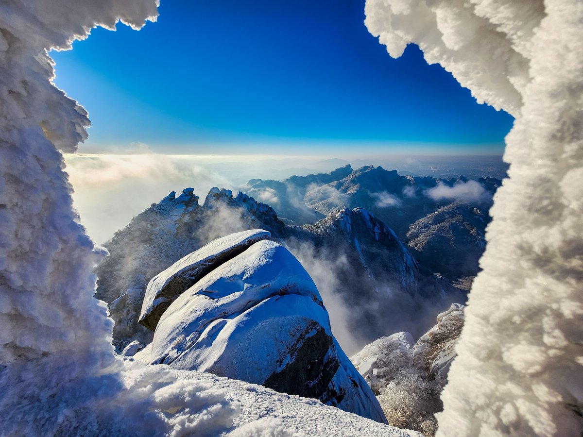
Yes. The park says crampons are a must on the Baegundae Course in winter (반드시 아이젠을 착용), because so many sections ice over. From November 15 to March 15 the park runs its winter safety period: bring crampons, gaiters and cold-weather gear, and if it starts snowing, head down or to the nearest shelter.
If you don’t own crampons, the Seoul Hiking Tourism Center’s Bukhansan Center, about 5 minutes from Bukhansan Ui Station Exit 2, rents hiking gear to foreign visitors. Korean citizens can rent only when they come with a foreign friend. Besides crampons it has boots, jackets, tops, pants, backpacks, sunglasses, trekking poles and gloves.
| Name | Seoul Hiking Tourism Center – Bukhansan Center |
|---|---|
| Address | 5F, 52 Samyang-ro 173-gil, Gangbuk-gu; about 5 min from Bukhansan Ui Station Exit 2 |
| Who can rent | Foreign visitors, and Koreans accompanied by a foreigner; age 14+ |
| Hours | 09:00–18:00; closed Mondays and holidays (the center’s site lists January 1, February 17 and September 25) |
| Gear back by | 16:30 |
| Booking | Through the center’s booking page on Klook; up to 48 hours to confirm; free cancellation up to 24 hours before |
Two things limit you. The center opens at 09:00, so a dawn start means bringing your own microspikes. And the gear has to be back by 16:30, not by closing time, which in practice means starting early. Because confirmation can take up to 48 hours, book at least two days before your hike. The center’s own “Book now” button goes to this page: Klook: Bukhansan Hiking Gear Rental.
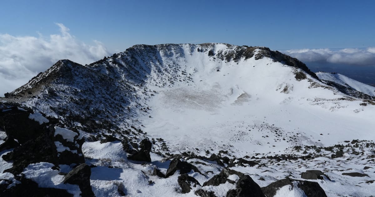
If you’ve hiked Hallasan or plan to, its winter gear rules are in the Hallasan reservation guide.
Is the Baegundae trail closed right now? Where do I check?
Wildfire-season closures haven’t touched the Baegundae Course in 2025–26; summit repairs and heavy snow are what close it. The park’s closure page is Korean only: knps.or.kr → 안전한 탐방 (safe visits) → 통제정보 (closure information). Look at the two Bukhansan rows, “북한산” and “북한산도봉”, and open them to see which section is shut.
| Autumn 2026 wildfire closure | November 15 – December 15, only 다락원~은석암 on the Dobongsan side (1 km); Baegundae Course not listed |
|---|---|
| Spring 2026 wildfire closure | March 3 – May 15, the same 1 km section |
| Spring 2027 | Not announced yet (last year’s came out on February 25) |
| Partial closure since October 30, 2026 | 구천폭포 전망대~대동문, 1.0 km, after a landslide damaged the path; not on the Baegundae Course |
| Summit section repairs | The last 0.3 km closed September 28 – October 1, 2026 (reopened October 2) and in August 2025 |
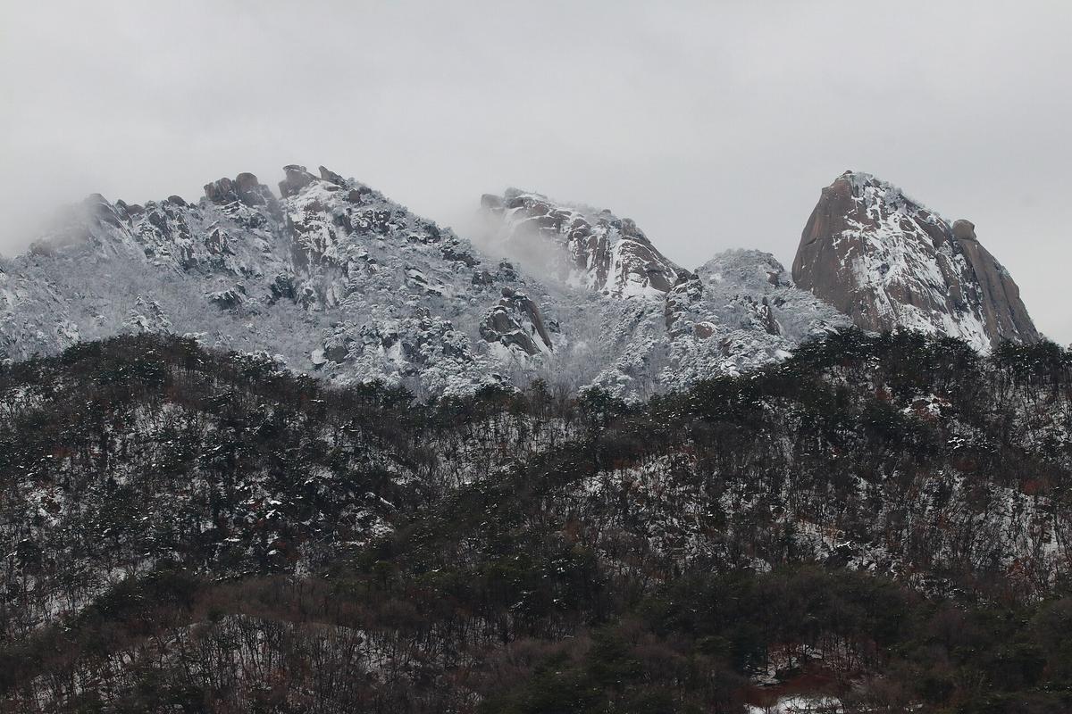
When the top 0.3 km is closed for repairs, you can walk to Baegun Shelter but not to the summit. Heavy snow is the bigger risk in winter. In February 2019, during a heavy-snow warning, the Baegundae side was open only from the visitor center to the Insu Rescue Station (인수구조대), 1.2 km, so you’d have turned back halfway. The park’s advice is to postpone as soon as a heavy-snow warning or advisory is issued. I’d check the closure page the night before and again in the morning. How often Seoul actually gets snow in winter is in when it snows in Seoul.
Your situation
If you’re going between December and February
Be at Bukhansan Ui Station around 09:00, collect the crampons you booked at the rental center, walk the road and you’re at the visitor center around 10:00, well ahead of the 16:00 cutoff. Be back at the center by 16:30. Check the closure page the night before and in the morning; if there’s a heavy-snow warning, move the hike to another day.
If you’re going in November or March
Plan around 16:00, not 17:00, and leave the visitor center before noon. Early March and late November fall inside the park’s winter safety period (November 15 – March 15), so bring or rent crampons.
If your only free day is a Monday
The rental center is closed, so you need your own crampons in winter. The trail itself is open; the cutoff times are the same every day.
Common mistakes
- Thinking the trail starts at the station. There’s about 2 km of paved road first; the 1.9 km starts at the visitor center.
- Reading 16:00 as the time to be down. It’s the last time you can start up. Arrive at the visitor center after it and you’re turned back.
- Planning around 17:00 in November or March. The park gives two different winter ranges; use 16:00.
- Going up in winter without crampons. The park says they’re required on this route.
- Counting on renting gear before 09:00 or on a Monday. The center opens at 09:00 and is closed Mondays and holidays.
- Returning rented gear at 18:00. It’s due back by 16:30.
- Following old directions to Suyu and bus 120. Take the Ui LRT to Bukhansan Ui.
- Not checking the closure page. When the summit section is under repair, you reach the shelter and no further.
What I would do
For a December hike on a weekday that isn’t a Monday, I’d book the crampons on the rental center’s Klook page three days ahead. The night before, I’d check 통제정보 for both Bukhansan rows and the snow forecast. On the day: Ui LRT to Bukhansan Ui for 09:00, collect the gear, walk the 2 km of road, and start the trail around 10:00. That puts me on the summit around 11:30 and back at the visitor center in the early afternoon, with plenty of margin before the 16:30 gear return. I wouldn’t plan anything else that day that needs fresh legs.
FAQ
- Q1: What is the shortest trail to Baegundae Peak?
- The Baegundae Course from the Ui side: 1.9 km one way, about 1 hour 30 minutes from Baegundae Visitor Center. Add about 2 km of paved uphill from Bukhansan Ui Station to reach the start. The Bukhansanseong route on the west side is 3.4 km and about 2 hours 40 minutes.
- Q2: Is there an entrance fee or reservation for Bukhansan?
- No. The national park charges only for parking and campsites. You don’t need to book the trail.
- Q3: What time does Bukhansan close?
- You can’t start up after 16:00 from December to February, or after 17:00 from March to November. That’s the last time to head uphill, not the time you must be down. In November and March, plan around 16:00.
- Q4: How long does it take to hike Bukhansan from Bukhansan Ui Station?
- Allow about 2 hours to the summit. That’s about 30 minutes of paved road to the visitor center plus the official 1 hour 30 minutes on the trail, before any summit queue.
- Q5: Do I need crampons for Bukhansan in winter?
- Yes. The park says crampons are a must on the Baegundae Course in winter because of icy sections. Foreign visitors can rent them near Bukhansan Ui Station from 09:00, closed Mondays.
- Q6: Is the Baegundae trail closed during wildfire season?
- Not in 2025–26. The spring and autumn wildfire closures covered a 1 km stretch on the Dobongsan side, including the November 15 to December 15, 2026 closure. Summit repairs and heavy-snow warnings are what actually close the Baegundae route.
- Q7: Is the Baegundae summit dangerous?
- It’s steep and narrow near the top, and you pull yourself up on fixed steel cables. Areas around the summit are off-limits because of fall risk; stay on the marked path. Skip it if heights bother you.
If it were me
I’d go up the Ui side, on a weekday morning, to avoid the weekend crowd at the summit. In winter I’d rent crampons rather than buy them for one hike, and I’d book them two days ahead. If I only had an afternoon free, I wouldn’t try Baegundae at all; between the road, the trail and the cutoff, there isn’t enough time. Flying in and out of Busan with only two or three days in Seoul, I’d think hard before giving up a whole day to it. If you’re comfortable on cables and get a clear morning, it’s the highest point in Seoul you can reach by subway and on foot in half a day.
Official sources
- Korea National Park Service: Bukhansan trails (Korean; open 백운대코스 for sections and notes)
- Korea National Park Service: trail entry hours (Korean; pick the 북한산국립공원 tab)
- Korea National Park Service: closure information (통제정보) (Korean)
- Seoul Hiking Tourism Center (hours, holidays, gear rental booking)
Prices and times follow the latest official announcement.
Read next
Verified
 Current
Hallasan Reservation 2026–27: How to Book the Summit Hike
Only two sections need a booking: Azalea Field Shelter to the summit on Seongpanak, and Samgakbong Shelter to the summit on Gwaneumsa. Bookings open on the first business day of each month at 09:00 KST for the whole next month; daily caps are 1,000 and 500. In winter (October–March) the shelters let no one through after 11:30, and the summit closes for descent at 13:30.
Verified
 Current
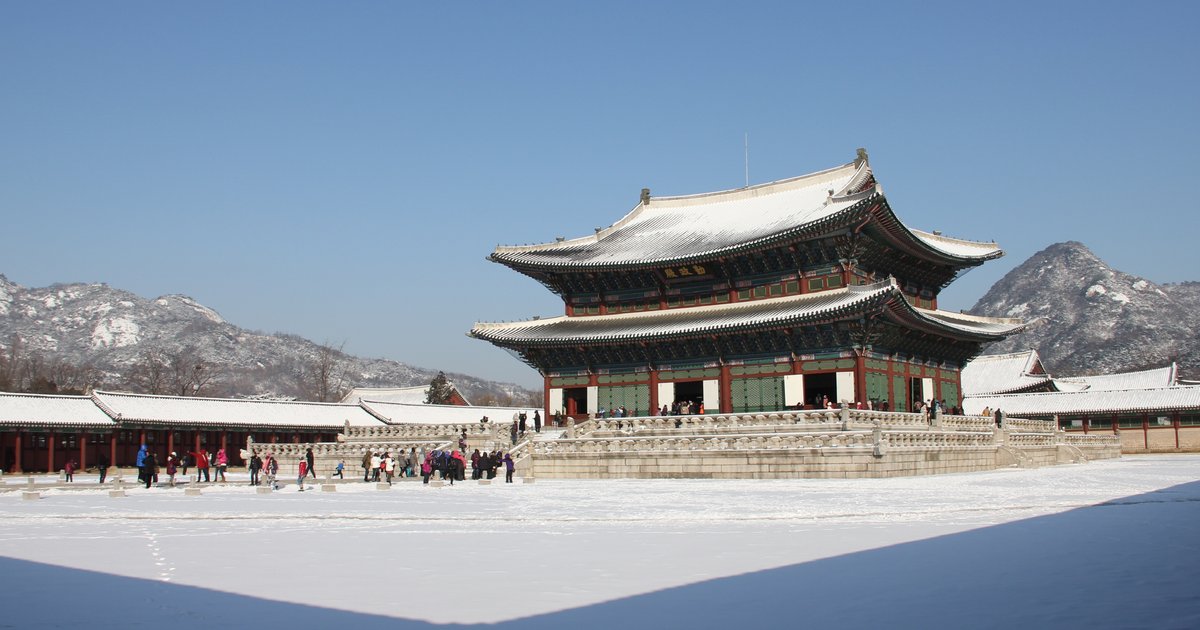
Seoul First Snow 2026: Nov 8, and the Best Month for Snow
Seoul’s first snow of 2026 fell on November 8, 12 days ahead of the November 20 average; it was sleet and snow pellets and nothing settled. January is the best bet: five days give about a 64% chance of a snowy day and 46% of snow on the ground.
Verified
 Not announced
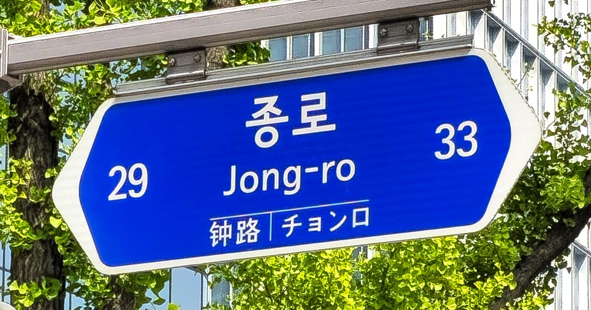
Does Google Maps Work in Korea? Nov 2026: Still No Walking
As of November 14, 2026, Google Maps in Korea shows transit routes only; walking and driving directions are unavailable. Korea conditionally approved exporting 1:5,000 map data in late February 2026, but no launch date has been announced. Use Naver Map or KakaoMap, both with English, for walking and driving.